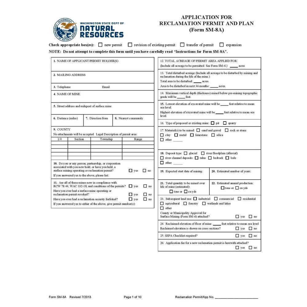
Reclamation plans that support both compliance and mine value
A reclamation plan is not only an environmental document. It can define the practical mining envelope, influence bonding, shape public review, and determine whether the permitted reserve base supports the asset value. Geographic Solutions develops reclamation planning materials that connect the regulatory requirements to real mine geometry, topography, drainage, slopes, benches, and future land use.
What can be included
- Existing and proposed topography exhibits
- Mining and reclamation phasing
- Slope, bench, highwall, and final-contour concepts
- Reserve-expansion strategy and permitting support
- Reclamation cost and bond support materials
- Clean-soil or reclamation-fill policy coordination when appropriate
Common questions
Can a reclamation update increase usable reserves?
Sometimes. If the existing permit or plan unnecessarily constrains mining, a technical review may identify practical ways to expand or clarify the mineable envelope while still meeting reclamation obligations.
Do you prepare maps and exhibits?
Yes. GIS, drone mapping, surface modeling, cross sections, and plan-view exhibits are core parts of the work.