Maps that make complex projects understandable
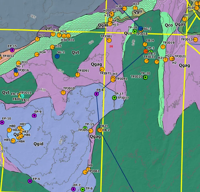
Aggregate projects depend on geography: reserves, zoning, wetlands, roads, haul costs, markets, neighboring uses, water, topography, and permit boundaries. Geographic Solutions builds maps and web tools that make those relationships visible and actionable.
GIS services
- Permit and public-meeting exhibits
- Interactive web maps
- Haul-cost and market-area analysis
- Reserve and mine-life mapping
- Spatial databases for assets and compliance
- Line-of-sight, drive-time, and constraint analysis
Common questions
Can you build private web maps?
Yes. Web maps can be built for internal decision making, market studies, due diligence, and project teams.
Do you work with existing GIS files?
Yes. We can work with shapefiles, geodatabases, CAD exports, KMZ files, rasters, drone surfaces, and public agency GIS data.