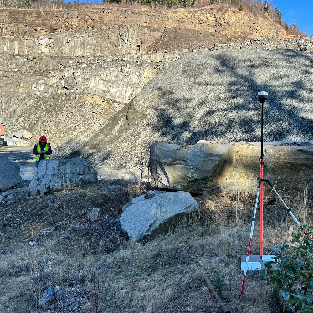
Drone mapping built for mining decisions
Drone deliverables should do more than produce good-looking images. They should support inventory, cut/fill, mine planning, reclamation, drainage review, reserve modeling, and operational decisions. Geographic Solutions combines field mapping with aggregate-industry context so the outputs are useful to operators and decision makers.
Deliverables
- Orthomosaic imagery
- Digital elevation models and contours
- Stockpile inventory reports
- Cut/fill calculations
- Mine and reclamation progress tracking
- Permit and exhibit maps derived from current data
Common questions
How often should an aggregate site be mapped?
It depends on production, inventory volatility, and reporting needs. Some sites need monthly inventory; others need periodic mapping for planning, permitting, or reclamation documentation.
Can drone mapping support permit applications?
Yes. Current imagery, surfaces, and contours can strengthen site plans, drainage exhibits, reclamation maps, and public-facing visuals.